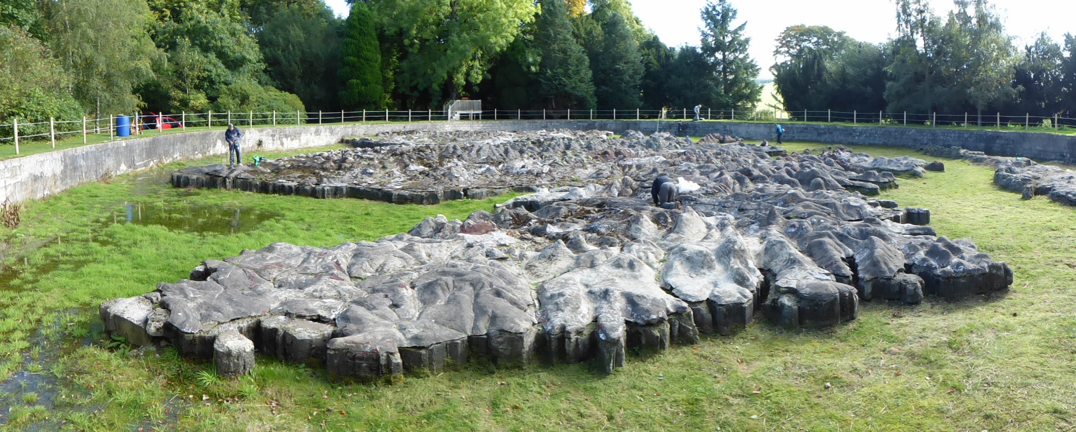
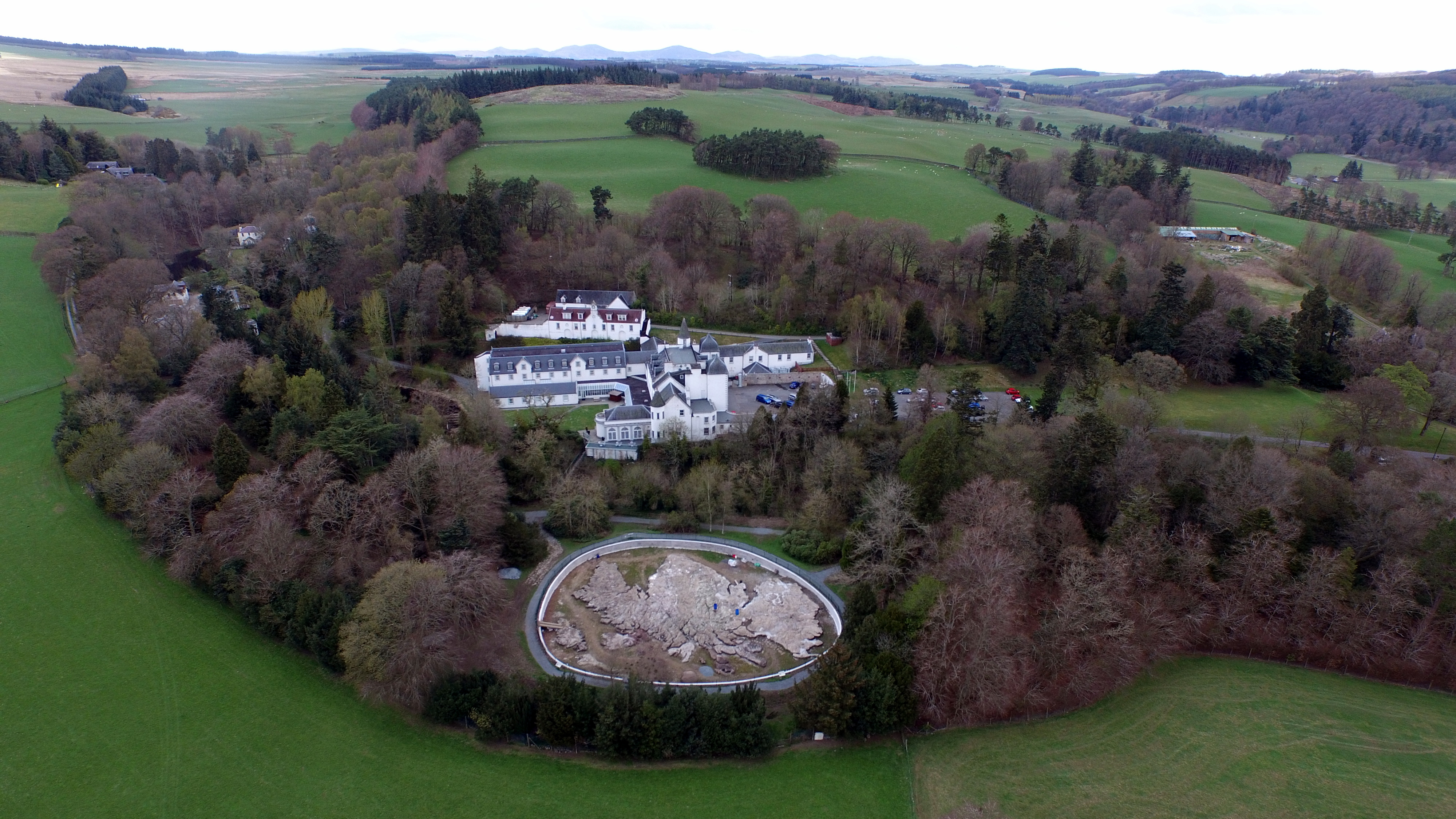
The "Great Polish Map of Scotland" is a 50 x 40 m concrete terrain model of Scotland. It was built by a Polish sergeant who stationed in Scotland during WWII and ended up living there. It is claimed to be the world's largest terrain model, although the Chinese built a 900 x 700 m model in 1999.
Source: Atlas Obscura. Great Polish Map of Scotland.
Added by: Pierre Dragicevic, sent by: Benjamin Bach.
Category:
Physical model
Tags:
cartographic, scotland, terrain model, walkable