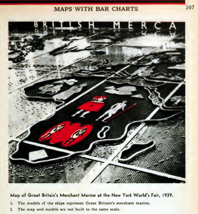
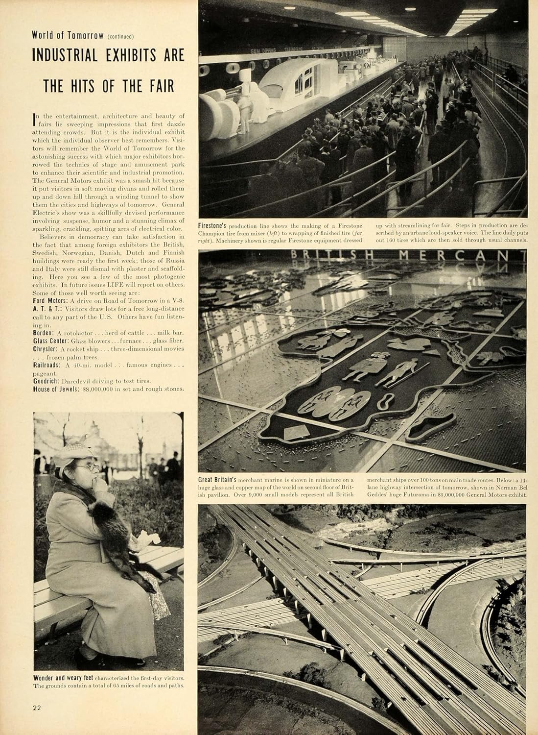
A physical World map made of copper and glass showing the size of Great Britain's merchant marine and the main trade routes as 9,000 miniature ship models. Exhibited at the New York World Fair in 1939.
Sources:
- Willard Cope Brinton (1939) Graphic Presentation, p. 207.
- Life Magazine (1939) New York Opens the Gates to the World of Tomorrow. Vol. 6, No. 20, May 15 1939.
Added by: Pierre Dragicevic.
Category:
Passive physical visualization
Tags:
Brinton, cartographic, cartography