The Institute of Cartography ETH Zurich published a great review of past and present techniques for doing solid terrain modeling. Although terrain models are not physical visualizations in the strict sense, the techniques could be in principle used to convey data. Physical terrain models were already being built in 16th the century, and the review covers modern techniques from the early 20th century to today's digital fabrication. Source: Institute of Cartography ETH Zurich (2006) Terrain […]
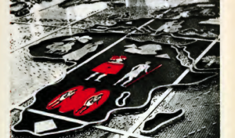
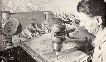
The Institute of Cartography ETH Zurich published a great review of past and present techniques for doing solid terrain modeling. Although terrain models are not physical visualizations in the strict sense, the techniques could be in principle used to convey data. Physical terrain models were already being built in 16th the century, and the review covers modern techniques from the early 20th century to today's digital fabrication. Source: Institute of Cartography ETH Zurich (2006) Terrain modeling website - Production techniques.
Added by: Pierre Dragicevic.
Category:
Enabling technology
Tags:
cartographic, cartography, terrain model, terrain modeling